High Street, Etchingham
Introduction
The photograph on this page of High Street, Etchingham by Simon Carey as part of the Geograph project.
The Geograph project started in 2005 with the aim of publishing, organising and preserving representative images for every square kilometre of Great Britain, Ireland and the Isle of Man.

There are currently over 7.5m images from over 14,400 individuals and you can help contribute to the project by visiting https://www.geograph.org.uk
High Street, Etchingham
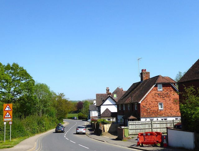
Image: © Simon Carey Taken: 6 May 2018
Viewed from the junction with Church Lane as the A265 heads eastwards out of the village towards the station and on to Hurst Green. The buildings on the left are Clulow Cottages followed by Kelsey House/De Etchingham House once the Station Inn with The Etchingham Stores in the distance.
Images are licensed for reuse under creativecommons.org/licenses/by-sa/2.0
Image Location
Latitude
51.008963
Longitude
0.440121