St Andrew's Walk, Wells
Introduction
The photograph on this page of St Andrew's Walk, Wells by Sharon Loxton as part of the Geograph project.
The Geograph project started in 2005 with the aim of publishing, organising and preserving representative images for every square kilometre of Great Britain, Ireland and the Isle of Man.

There are currently over 7.5m images from over 14,400 individuals and you can help contribute to the project by visiting https://www.geograph.org.uk
St Andrew's Walk, Wells
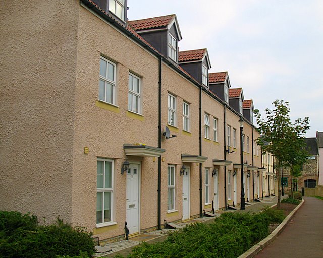
Image: © Sharon Loxton Taken: 6 Oct 2007
This row of terraced houses was constructed 2 years ago on a former industrial site (Sheldon Jones Engineering). St Andrew's Walk links Princes street with West street.
Images are licensed for reuse under creativecommons.org/licenses/by-sa/2.0
Image Location
Latitude
51.205803
Longitude
-2.653253