Ivor Street, Fleur De Lis
Introduction
The photograph on this page of Ivor Street, Fleur De Lis by Jaggery as part of the Geograph project.
The Geograph project started in 2005 with the aim of publishing, organising and preserving representative images for every square kilometre of Great Britain, Ireland and the Isle of Man.

There are currently over 7.5m images from over 14,400 individuals and you can help contribute to the project by visiting https://www.geograph.org.uk
Ivor Street, Fleur De Lis
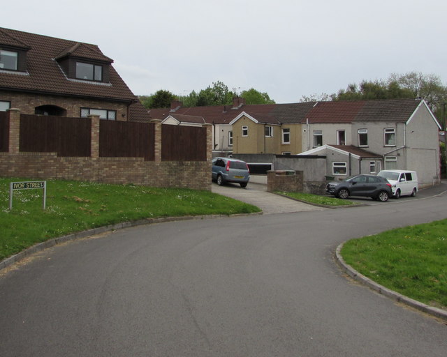
Image: © Jaggery Taken: 11 May 2018
Ivor Street leads to Arvonia Terrace https://www.geograph.org.uk/photo/5770432 on the right.
Images are licensed for reuse under creativecommons.org/licenses/by-sa/2.0
Image Location
Latitude
51.663883
Longitude
-3.222114