Yr Eglwys Fethodistaidd in Stryd Fawr/High Street, Prestatyn
Introduction
The photograph on this page of Yr Eglwys Fethodistaidd in Stryd Fawr/High Street, Prestatyn by John S Turner as part of the Geograph project.
The Geograph project started in 2005 with the aim of publishing, organising and preserving representative images for every square kilometre of Great Britain, Ireland and the Isle of Man.

There are currently over 7.5m images from over 14,400 individuals and you can help contribute to the project by visiting https://www.geograph.org.uk
Yr Eglwys Fethodistaidd in Stryd Fawr/High Street, Prestatyn
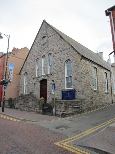
Image: © John S Turner Taken: 28 Aug 2012
Looking across Stryd Fawr/High Street towards the Bethel Methodist Church. There is an Ordnance Survey bench mark on the gatepost to the left of the nearest gate - Image
Images are licensed for reuse under creativecommons.org/licenses/by-sa/2.0
Image Location
Latitude
53.333312
Longitude
-3.402672