The valley of the Leader Water
Introduction
The photograph on this page of The valley of the Leader Water by M J Richardson as part of the Geograph project.
The Geograph project started in 2005 with the aim of publishing, organising and preserving representative images for every square kilometre of Great Britain, Ireland and the Isle of Man.

There are currently over 7.5m images from over 14,400 individuals and you can help contribute to the project by visiting https://www.geograph.org.uk
The valley of the Leader Water
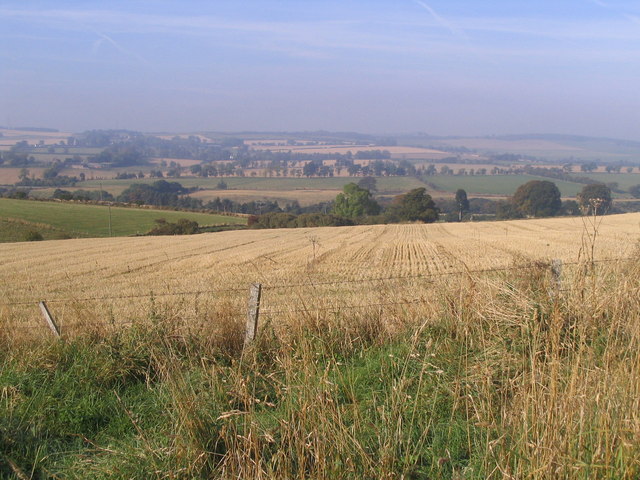
Image: © M J Richardson Taken: 6 Oct 2007
Looking across barley stubble from Under Boon farm, towards where the Shaw Burn joins the Leader Water.
Images are licensed for reuse under creativecommons.org/licenses/by-sa/2.0
Image Location
Latitude
55.6961
Longitude
-2.700287