Brushfield Street and Berridge Primary and Nursery School
Introduction
The photograph on this page of Brushfield Street and Berridge Primary and Nursery School by John Sutton as part of the Geograph project.
The Geograph project started in 2005 with the aim of publishing, organising and preserving representative images for every square kilometre of Great Britain, Ireland and the Isle of Man.

There are currently over 7.5m images from over 14,400 individuals and you can help contribute to the project by visiting https://www.geograph.org.uk
Brushfield Street and Berridge Primary and Nursery School
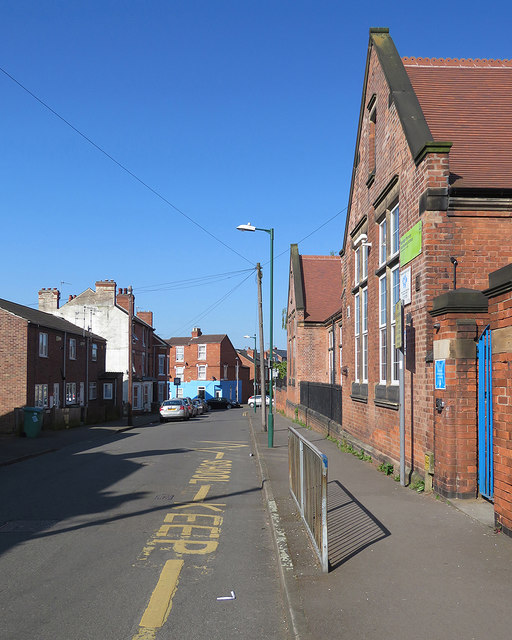
Image: © John Sutton Taken: 5 May 2018
When I started here in 1953, we infants were housed in the single-storey building on the right. As juniors we moved to the taller building fronting Berridge Road. (As I stood to take this picture I wasn't thinking of the beautiful Bank Holiday weather but of how, on 6 November each year, Brushfield Street was full of the still-smoking remains of the previous night's bonfires - often including sofas - and fireworks. That was in the olden days, of course, when the biggest and loudest Standard bangers cost 6d.)
Images are licensed for reuse under creativecommons.org/licenses/by-sa/2.0
Image Location
Latitude
52.964686
Longitude
-1.177376