Cove Brook near West Heath
Introduction
The photograph on this page of Cove Brook near West Heath by Nigel Cox as part of the Geograph project.
The Geograph project started in 2005 with the aim of publishing, organising and preserving representative images for every square kilometre of Great Britain, Ireland and the Isle of Man.

There are currently over 7.5m images from over 14,400 individuals and you can help contribute to the project by visiting https://www.geograph.org.uk
Cove Brook near West Heath
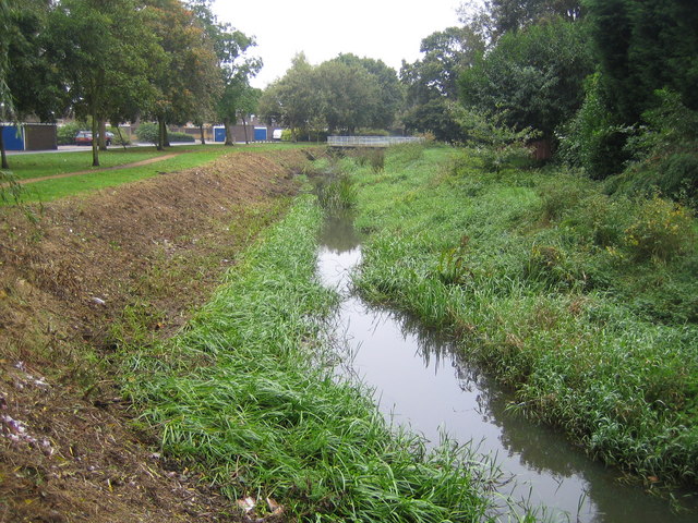
Image: © Nigel Cox Taken: 2 Oct 2007
Vegetation has recently been cleared from the bank in this view of Cove Brook. Kingsley Road is to the left and the footbridge to Northcote Road crosses the brook in the distance. Despite the construction of residential estates in the area in the last fifty years, the 1940s Ordnance Survey map shows that Cove Brook still follows generally the same course as it did prior to the housing development in the area.
Images are licensed for reuse under creativecommons.org/licenses/by-sa/2.0
Image Location
Latitude
51.303895
Longitude
-0.77346