Heaver Close Copse
Introduction
The photograph on this page of Heaver Close Copse by Derek Harper as part of the Geograph project.
The Geograph project started in 2005 with the aim of publishing, organising and preserving representative images for every square kilometre of Great Britain, Ireland and the Isle of Man.

There are currently over 7.5m images from over 14,400 individuals and you can help contribute to the project by visiting https://www.geograph.org.uk
Heaver Close Copse
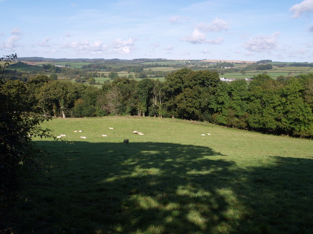
Image: © Derek Harper Taken: 4 Oct 2007
The edge of the copse, adjoining this field by the lane from Hatherleigh to Sheepwash, is in this square, but it drops down the valley side of the Torridge into Image On the floor of the valley can be seen the farm at Hele Barton.
Images are licensed for reuse under creativecommons.org/licenses/by-sa/2.0
Image Location


Leaflet Map data © OpenStreetMap
Latitude
50.834177
Longitude
-4.109202