Hillside lane towards Hendy
Introduction
The photograph on this page of Hillside lane towards Hendy by Andrew Hill as part of the Geograph project.
The Geograph project started in 2005 with the aim of publishing, organising and preserving representative images for every square kilometre of Great Britain, Ireland and the Isle of Man.

There are currently over 7.5m images from over 14,400 individuals and you can help contribute to the project by visiting https://www.geograph.org.uk
Hillside lane towards Hendy
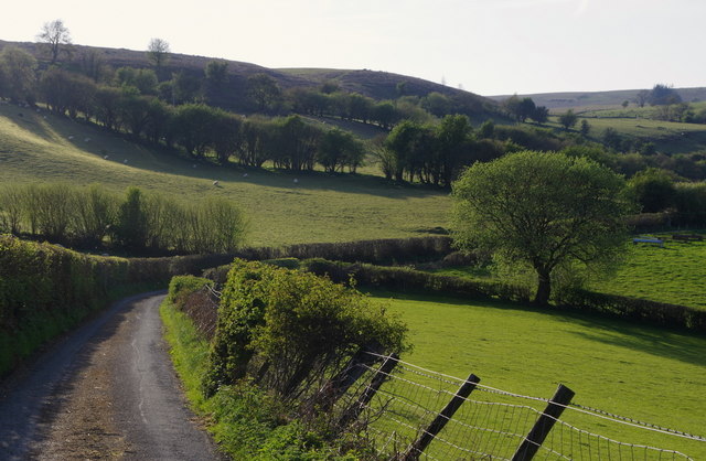
Image: © Andrew Hill Taken: 7 May 2018
Hendy is the next farm (out of picture to the right) on the hillside rising to the west of the Wye valley. Mainly improved pasture for sheep, with open hill on the skyline.
Images are licensed for reuse under creativecommons.org/licenses/by-sa/2.0
Image Location
Latitude
52.107364
Longitude
-3.366937