Millbrook boatyard
Introduction
The photograph on this page of Millbrook boatyard by Jay Pea as part of the Geograph project.
The Geograph project started in 2005 with the aim of publishing, organising and preserving representative images for every square kilometre of Great Britain, Ireland and the Isle of Man.

There are currently over 7.5m images from over 14,400 individuals and you can help contribute to the project by visiting https://www.geograph.org.uk
Millbrook boatyard
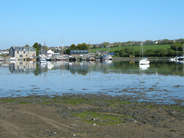
Image: © Jay Pea Taken: 6 May 2018
The boatyard nearest to the dam at Millbrook, with the creek nearly at high tide and brilliant sunshine it is ideal for reflections.
Images are licensed for reuse under creativecommons.org/licenses/by-sa/2.0
Image Location


Leaflet Map data © OpenStreetMap
Latitude
50.351293
Longitude
-4.215224