Past the corner of Lund Wood to Wharram Farm: aerial 2018
Introduction
The photograph on this page of Past the corner of Lund Wood to Wharram Farm: aerial 2018 by Chris as part of the Geograph project.
The Geograph project started in 2005 with the aim of publishing, organising and preserving representative images for every square kilometre of Great Britain, Ireland and the Isle of Man.

There are currently over 7.5m images from over 14,400 individuals and you can help contribute to the project by visiting https://www.geograph.org.uk
Past the corner of Lund Wood to Wharram Farm: aerial 2018
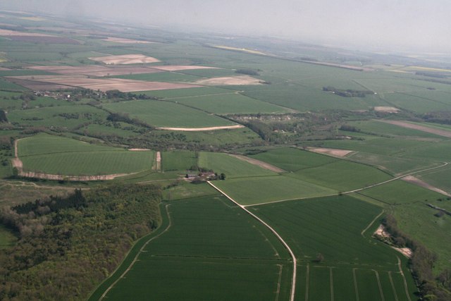
Image: © Chris Taken: 5 May 2018
Disused quarry by Wharram le Street disused railway station centre right. See also Image
Images are licensed for reuse under creativecommons.org/licenses/by-sa/2.0
Image Location
Latitude
54.081202
Longitude
-0.702085