Signs for footpaths and farms
Introduction
The photograph on this page of Signs for footpaths and farms by Andrew Hill as part of the Geograph project.
The Geograph project started in 2005 with the aim of publishing, organising and preserving representative images for every square kilometre of Great Britain, Ireland and the Isle of Man.

There are currently over 7.5m images from over 14,400 individuals and you can help contribute to the project by visiting https://www.geograph.org.uk
Signs for footpaths and farms
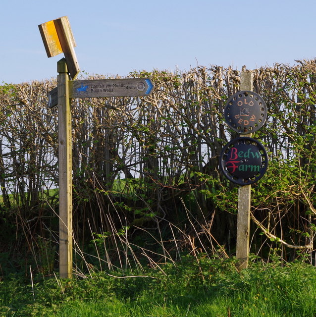
Image: © Andrew Hill Taken: 7 May 2018
The Wye Valley walk passes high up the hillside near Bedw Farm on the way north to Builth Wells. Downhill to cross the river north of Erwood in the other direction.
Images are licensed for reuse under creativecommons.org/licenses/by-sa/2.0
Image Location
Latitude
52.106661
Longitude
-3.365601