Thamesmead: South Mere
Introduction
The photograph on this page of Thamesmead: South Mere by Nigel Cox as part of the Geograph project.
The Geograph project started in 2005 with the aim of publishing, organising and preserving representative images for every square kilometre of Great Britain, Ireland and the Isle of Man.

There are currently over 7.5m images from over 14,400 individuals and you can help contribute to the project by visiting https://www.geograph.org.uk
Thamesmead: South Mere
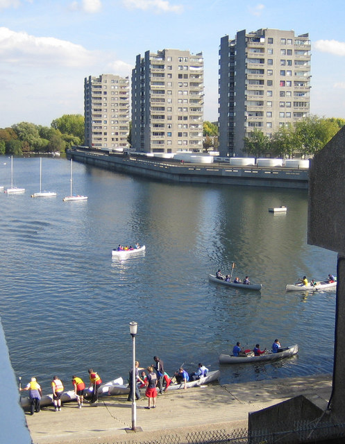
Image: © Nigel Cox Taken: 4 Oct 2007
Epic open boat voyages in history, Shackleton, Bligh, etc., reenacted on South Mere in Thamesmead. I jest, sorry. Hartslock Drive flats viewed from Binsey Walk flats looking over South Mere with the local kids trying out their boating skills.
Images are licensed for reuse under creativecommons.org/licenses/by-sa/2.0
Image Location
Latitude
51.4988
Longitude
0.123569