Signs warn of Sutton Bank
Introduction
The photograph on this page of Signs warn of Sutton Bank by DS Pugh as part of the Geograph project.
The Geograph project started in 2005 with the aim of publishing, organising and preserving representative images for every square kilometre of Great Britain, Ireland and the Isle of Man.

There are currently over 7.5m images from over 14,400 individuals and you can help contribute to the project by visiting https://www.geograph.org.uk
Signs warn of Sutton Bank
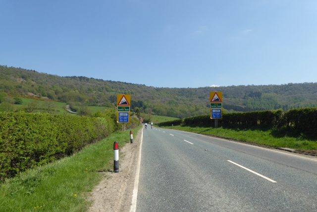
Image: © DS Pugh Taken: 5 May 2018
Approaching Sutton Bank on the A170 with its steep gradients. The Tour de Yorkshire will pass here shortly, including climbing the bank.
Images are licensed for reuse under creativecommons.org/licenses/by-sa/2.0
Image Location


Leaflet Map data © OpenStreetMap
Latitude
54.236247
Longitude
-1.224717