
Pre-Worboys crossroads sign, Podimore
Introduction
The photograph on this page of Pre-Worboys crossroads sign, Podimore by David Howard as part of the Geograph project.
The Geograph project started in 2005 with the aim of publishing, organising and preserving representative images for every square kilometre of Great Britain, Ireland and the Isle of Man.

There are currently over 7.5m images from over 14,400 individuals and you can help contribute to the project by visiting https://www.geograph.org.uk
Pre-Worboys crossroads sign, Podimore
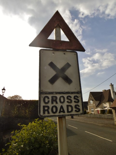
Image: © David Howard Taken: 5 May 2018
Pre-Worboys warning signs are thin on the ground by the 21st century, having been abolished in 1964, but the crossroads even more so as this was a pre-1955 version with an X which was replaced by an +. Both can be counted on the fingers of one hand but this probably doesn't even need them all for the British remaining total. https://www.sabre-roads.org.uk/wiki/?title=Pre-Worboys
Images are licensed for reuse under creativecommons.org/licenses/by-sa/2.0
Image Location

Latitude
51.023021
Longitude
-2.648113