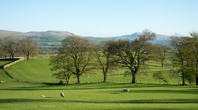
Fields, sheep and trees near Helbeck
Introduction
The photograph on this page of Fields, sheep and trees near Helbeck by Trevor Littlewood as part of the Geograph project.
The Geograph project started in 2005 with the aim of publishing, organising and preserving representative images for every square kilometre of Great Britain, Ireland and the Isle of Man.
There are currently over 7.5m images from over 14,400 individuals and you can help contribute to the project by visiting https://www.geograph.org.uk

Image: © Trevor Littlewood Taken: 5 May 2018
A minor road climbs out of Brough to end (as a public road), at Hellbeck Quarry. This is the view from there, near to south, over fields, to the shallow dip of Mallerstang seen just above the tree tops. Wild Boar Fell is to the right, partly concealed by a tree. (Note: The spelling of Helbeck is in doubt: the OS uses both a single 'l' and a double depending on feature and scale. Breedon, the operators of the quarry, on the name board at the site, use a doubled letter.)

