Ainthorpe Lane
Introduction
The photograph on this page of Ainthorpe Lane by Stephen McCulloch as part of the Geograph project.
The Geograph project started in 2005 with the aim of publishing, organising and preserving representative images for every square kilometre of Great Britain, Ireland and the Isle of Man.

There are currently over 7.5m images from over 14,400 individuals and you can help contribute to the project by visiting https://www.geograph.org.uk
Ainthorpe Lane
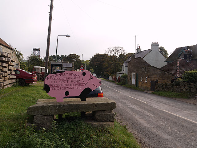
Image: © Stephen McCulloch Taken: 5 Oct 2007
Pork for sale at the farm. Tower at Danby fire station can be seen on the left of the picture.
Images are licensed for reuse under creativecommons.org/licenses/by-sa/2.0
Image Location


Leaflet Map data © OpenStreetMap
Latitude
54.463048
Longitude
-0.915589