Defensive Wall and Inner Ditch, Pickering Castle
Introduction
The photograph on this page of Defensive Wall and Inner Ditch, Pickering Castle by G Laird as part of the Geograph project.
The Geograph project started in 2005 with the aim of publishing, organising and preserving representative images for every square kilometre of Great Britain, Ireland and the Isle of Man.

There are currently over 7.5m images from over 14,400 individuals and you can help contribute to the project by visiting https://www.geograph.org.uk
Defensive Wall and Inner Ditch, Pickering Castle
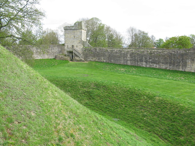
Image: © G Laird Taken: 3 May 2018
Pickering Castle dates from 1180-1187 with later strengthening in the 13th and 14th centuries. Pickering Castle is a motte-and-bailey fortification with 2 ditches, one outside and one inside (in the photograph).
Images are licensed for reuse under creativecommons.org/licenses/by-sa/2.0
Image Location
Latitude
54.249774
Longitude
-0.775076