Woods and moors
Introduction
The photograph on this page of Woods and moors by Russel Wills as part of the Geograph project.
The Geograph project started in 2005 with the aim of publishing, organising and preserving representative images for every square kilometre of Great Britain, Ireland and the Isle of Man.

There are currently over 7.5m images from over 14,400 individuals and you can help contribute to the project by visiting https://www.geograph.org.uk
Woods and moors
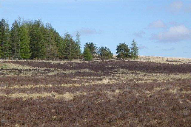
Image: © Russel Wills Taken: 4 May 2018
The woods are a shelter belt for Otterburn Camp.
Images are licensed for reuse under creativecommons.org/licenses/by-sa/2.0
Image Location
Latitude
55.251223
Longitude
-2.17002