Waste ground crossed by Haswell to Hart Countryside Walkway
Introduction
The photograph on this page of Waste ground crossed by Haswell to Hart Countryside Walkway by Trevor Littlewood as part of the Geograph project.
The Geograph project started in 2005 with the aim of publishing, organising and preserving representative images for every square kilometre of Great Britain, Ireland and the Isle of Man.

There are currently over 7.5m images from over 14,400 individuals and you can help contribute to the project by visiting https://www.geograph.org.uk
Waste ground crossed by Haswell to Hart Countryside Walkway
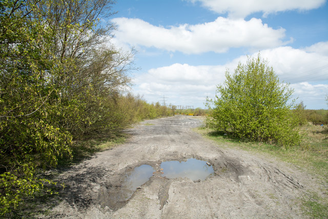
Image: © Trevor Littlewood Taken: 3 May 2018
The nature of the Haswell to Hart Countryside Walkway passing South Hetton changes from being a pleasant, rural route to one passing through a post-industrial landscape. The grey material here is presumably 'landscaped' colliery waste.
Images are licensed for reuse under creativecommons.org/licenses/by-sa/2.0
Image Location
Latitude
54.801023
Longitude
-1.40404