The Northern End of the M5 Motorway near Whiteabbey
Introduction
The photograph on this page of The Northern End of the M5 Motorway near Whiteabbey by David Dixon as part of the Geograph project.
The Geograph project started in 2005 with the aim of publishing, organising and preserving representative images for every square kilometre of Great Britain, Ireland and the Isle of Man.

There are currently over 7.5m images from over 14,400 individuals and you can help contribute to the project by visiting https://www.geograph.org.uk
The Northern End of the M5 Motorway near Whiteabbey
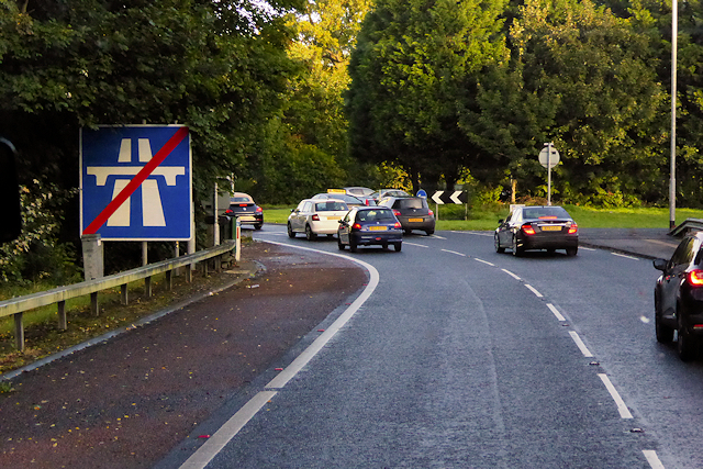
Image: © David Dixon Taken: 29 Sep 2017
The M5 is a spur motorway, slightly less than 1½ miles in length, in north Belfast. It connects the M2 with the A2 Shore Road at Hazelbank in Newtownabbey. It is a dual two lane road with most of the road on a causeway in Belfast Lough in order to bypass Whitehouse beach.
Images are licensed for reuse under creativecommons.org/licenses/by-sa/2.0
Image Location
Latitude
54.663284
Longitude
-5.904709