View West across valley floor wetlands towards Tievecrom
Introduction
The photograph on this page of View West across valley floor wetlands towards Tievecrom by Eric Jones as part of the Geograph project.
The Geograph project started in 2005 with the aim of publishing, organising and preserving representative images for every square kilometre of Great Britain, Ireland and the Isle of Man.

There are currently over 7.5m images from over 14,400 individuals and you can help contribute to the project by visiting https://www.geograph.org.uk
View West across valley floor wetlands towards Tievecrom
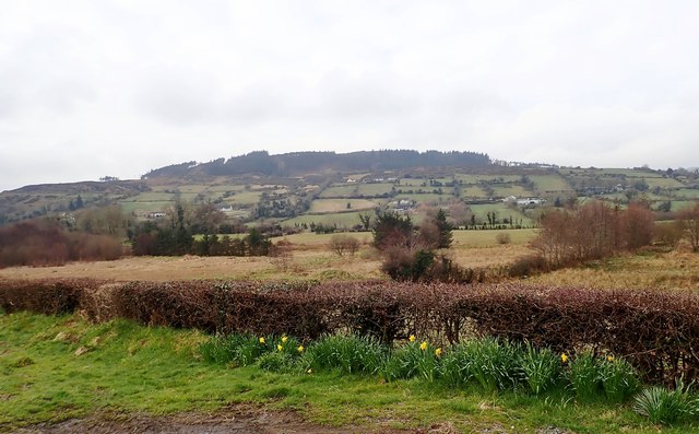
Image: © Eric Jones Taken: 9 Apr 2018
Tievecrom is part of the Ring of Gullion Hills. The western slope of the hill overlooks the village of Forkill/Forkhill.
Images are licensed for reuse under creativecommons.org/licenses/by-sa/2.0
Image Location
Latitude
54.081793
Longitude
-6.41885