West side of Mill Street, Pontymister
Introduction
The photograph on this page of West side of Mill Street, Pontymister by Jaggery as part of the Geograph project.
The Geograph project started in 2005 with the aim of publishing, organising and preserving representative images for every square kilometre of Great Britain, Ireland and the Isle of Man.

There are currently over 7.5m images from over 14,400 individuals and you can help contribute to the project by visiting https://www.geograph.org.uk
West side of Mill Street, Pontymister
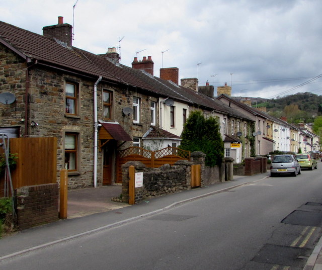
Image: © Jaggery Taken: 1 May 2018
The house on the left is at the edge of a fenced-off area north of Mill Street Car Park. https://www.geograph.org.uk/photo/5759479
Images are licensed for reuse under creativecommons.org/licenses/by-sa/2.0
Image Location
Latitude
51.604124
Longitude
-3.090695