The upper end of Ballynamadda Road, Dromintee
Introduction
The photograph on this page of The upper end of Ballynamadda Road, Dromintee by Eric Jones as part of the Geograph project.
The Geograph project started in 2005 with the aim of publishing, organising and preserving representative images for every square kilometre of Great Britain, Ireland and the Isle of Man.

There are currently over 7.5m images from over 14,400 individuals and you can help contribute to the project by visiting https://www.geograph.org.uk
The upper end of Ballynamadda Road, Dromintee
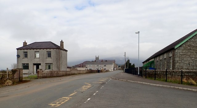
Image: © Eric Jones Taken: 9 Apr 2018
The village is variously known as Dromintee and Drumintee and in Irish Druim an Tighe, and Droim an Tí. Such variations are common in Ireland. The name means "Ridge of the House". Its Welsh equivalent would be Drum y Ty.
Images are licensed for reuse under creativecommons.org/licenses/by-sa/2.0
Image Location
Latitude
54.087812
Longitude
-6.418774