Nant Fforch plantation
Introduction
The photograph on this page of Nant Fforch plantation by Penny Mayes as part of the Geograph project.
The Geograph project started in 2005 with the aim of publishing, organising and preserving representative images for every square kilometre of Great Britain, Ireland and the Isle of Man.

There are currently over 7.5m images from over 14,400 individuals and you can help contribute to the project by visiting https://www.geograph.org.uk
Nant Fforch plantation
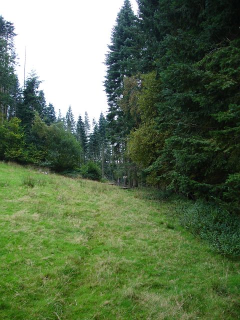
Image: © Penny Mayes Taken: 3 Oct 2007
The upper reaches of this steeply sided ravine are planted with conifers. A faded sign says felling is in progress but there is little evidence of it.
Images are licensed for reuse under creativecommons.org/licenses/by-sa/2.0
Image Location
Latitude
52.645211
Longitude
-3.25979