Development land at the north end of Ballynamadda Road
Introduction
The photograph on this page of Development land at the north end of Ballynamadda Road by Eric Jones as part of the Geograph project.
The Geograph project started in 2005 with the aim of publishing, organising and preserving representative images for every square kilometre of Great Britain, Ireland and the Isle of Man.

There are currently over 7.5m images from over 14,400 individuals and you can help contribute to the project by visiting https://www.geograph.org.uk
Development land at the north end of Ballynamadda Road
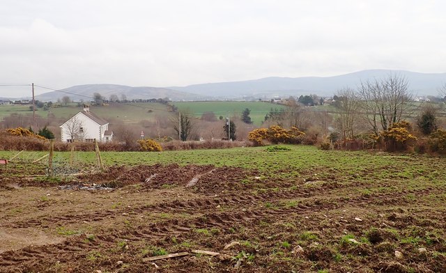
Image: © Eric Jones Taken: 9 Apr 2018
This is located in the centre of the village of Drumintee.
Images are licensed for reuse under creativecommons.org/licenses/by-sa/2.0
Image Location
Latitude
54.088349
Longitude
-6.418601