Ty-Isaf Baptist Church, Pontymister
Introduction
The photograph on this page of Ty-Isaf Baptist Church, Pontymister by Jaggery as part of the Geograph project.
The Geograph project started in 2005 with the aim of publishing, organising and preserving representative images for every square kilometre of Great Britain, Ireland and the Isle of Man.

There are currently over 7.5m images from over 14,400 individuals and you can help contribute to the project by visiting https://www.geograph.org.uk
Ty-Isaf Baptist Church, Pontymister
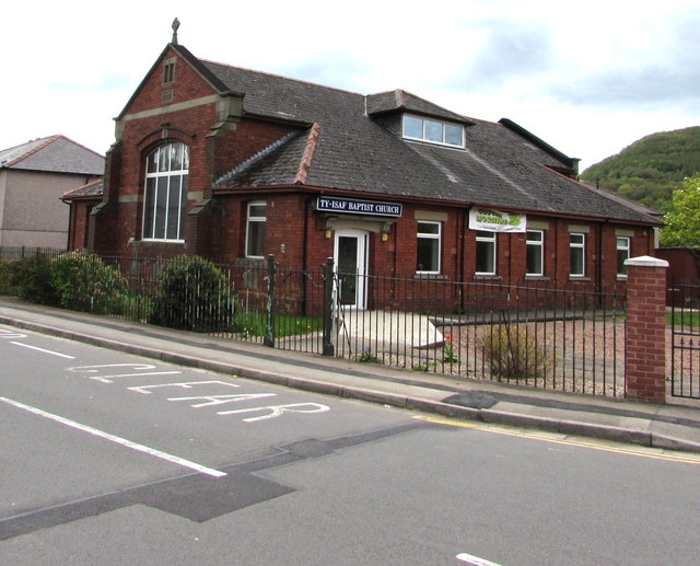
Image: © Jaggery Taken: 1 May 2018
On the corner of Springfield Road and Mill Street. The year stone on the left side of the church shows 1922.
Images are licensed for reuse under creativecommons.org/licenses/by-sa/2.0
Image Location
Latitude
51.602958
Longitude
-3.090378