East side of the Tredegar Arms, Rogerstone
Introduction
The photograph on this page of East side of the Tredegar Arms, Rogerstone by Jaggery as part of the Geograph project.
The Geograph project started in 2005 with the aim of publishing, organising and preserving representative images for every square kilometre of Great Britain, Ireland and the Isle of Man.

There are currently over 7.5m images from over 14,400 individuals and you can help contribute to the project by visiting https://www.geograph.org.uk
East side of the Tredegar Arms, Rogerstone
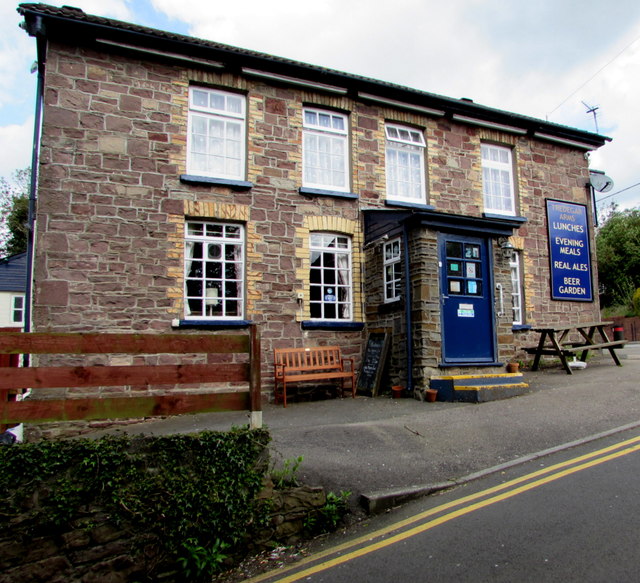
Image: © Jaggery Taken: 1 May 2018
The Bethesda Place side of the pub on the corner of Cefn Road. See https://www.geograph.org.uk/photo/5758079 for a corner view.
Images are licensed for reuse under creativecommons.org/licenses/by-sa/2.0
Image Location
Latitude
51.593129
Longitude
-3.054053