View south-east from Windyway Head
Introduction
The photograph on this page of View south-east from Windyway Head by Alan Murray-Rust as part of the Geograph project.
The Geograph project started in 2005 with the aim of publishing, organising and preserving representative images for every square kilometre of Great Britain, Ireland and the Isle of Man.

There are currently over 7.5m images from over 14,400 individuals and you can help contribute to the project by visiting https://www.geograph.org.uk
View south-east from Windyway Head
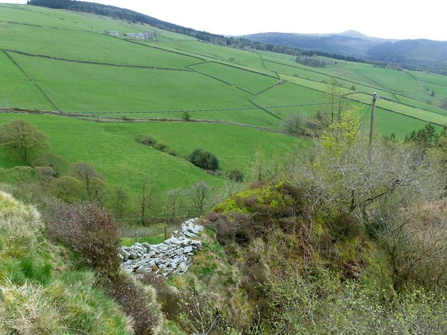
Image: © Alan Murray-Rust Taken: 26 Apr 2018
The stone wall marks the boundary of the Borough of Macclesfield.
Images are licensed for reuse under creativecommons.org/licenses/by-sa/2.0
Image Location
Latitude
53.258301
Longitude
-2.073861