Hall Farm
Introduction
The photograph on this page of Hall Farm by Jonathan Thacker as part of the Geograph project.
The Geograph project started in 2005 with the aim of publishing, organising and preserving representative images for every square kilometre of Great Britain, Ireland and the Isle of Man.

There are currently over 7.5m images from over 14,400 individuals and you can help contribute to the project by visiting https://www.geograph.org.uk
Hall Farm
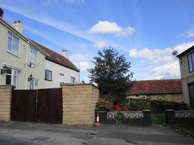
Image: © Jonathan Thacker Taken: 26 Apr 2018
A relic of Goldthorpe's agricultural past. The farmhouse (in the centre of the picture) is much altered and the stone built farm buildings are no longer in agricultural use.
Images are licensed for reuse under creativecommons.org/licenses/by-sa/2.0
Image Location
Latitude
53.530283
Longitude
-1.306007