Dual Lanes
Introduction
The photograph on this page of Dual Lanes by Chris Thomas-Atkin as part of the Geograph project.
The Geograph project started in 2005 with the aim of publishing, organising and preserving representative images for every square kilometre of Great Britain, Ireland and the Isle of Man.

There are currently over 7.5m images from over 14,400 individuals and you can help contribute to the project by visiting https://www.geograph.org.uk
Dual Lanes
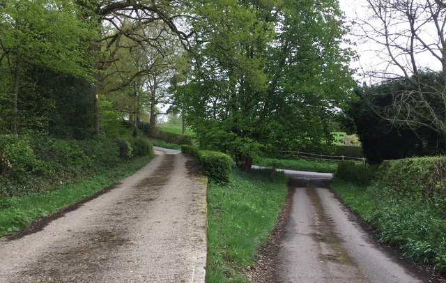
Image: © Chris Thomas-Atkin Taken: 29 Apr 2018
Allen’s Farm has two driveways side by side but on slightly different levels.
Images are licensed for reuse under creativecommons.org/licenses/by-sa/2.0
Image Location
Latitude
50.999364
Longitude
0.236796