Heritage Trail information board, English Bicknor
Introduction
The photograph on this page of Heritage Trail information board, English Bicknor by Pauline E as part of the Geograph project.
The Geograph project started in 2005 with the aim of publishing, organising and preserving representative images for every square kilometre of Great Britain, Ireland and the Isle of Man.

There are currently over 7.5m images from over 14,400 individuals and you can help contribute to the project by visiting https://www.geograph.org.uk
Heritage Trail information board, English Bicknor
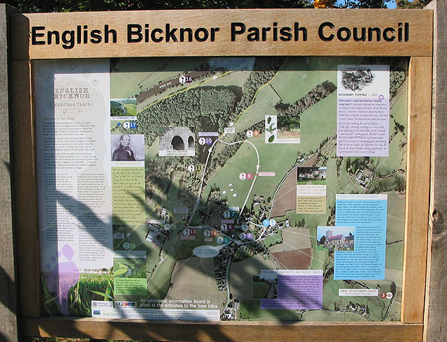
Image: © Pauline E Taken: 5 Oct 2007
This outlines a 45 minute circular walk, taking in Chepstow Wood and the restored Lime Kilns. Car parking is available near the primary school.
Images are licensed for reuse under creativecommons.org/licenses/by-sa/2.0
Image Location
Latitude
51.83868
Longitude
-2.610414