Foot and cycle path towards Earlswood
Introduction
The photograph on this page of Foot and cycle path towards Earlswood by Robin Webster as part of the Geograph project.
The Geograph project started in 2005 with the aim of publishing, organising and preserving representative images for every square kilometre of Great Britain, Ireland and the Isle of Man.

There are currently over 7.5m images from over 14,400 individuals and you can help contribute to the project by visiting https://www.geograph.org.uk
Foot and cycle path towards Earlswood
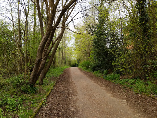
Image: © Robin Webster Taken: 21 Apr 2018
From East Surrey Hospital and beyond. This section of the path was formerly one of the roads associated with the large mental hospital once here. After this was converted to up-market residential units it became redundant, and is blanked off from the grounds some way behind the camera.
Images are licensed for reuse under creativecommons.org/licenses/by-sa/2.0
Image Location
Latitude
51.222719
Longitude
-0.16943