Footpath up to Andridge
Introduction
The photograph on this page of Footpath up to Andridge by Bill Boaden as part of the Geograph project.
The Geograph project started in 2005 with the aim of publishing, organising and preserving representative images for every square kilometre of Great Britain, Ireland and the Isle of Man.

There are currently over 7.5m images from over 14,400 individuals and you can help contribute to the project by visiting https://www.geograph.org.uk
Footpath up to Andridge
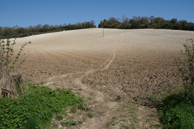
Image: © Bill Boaden Taken: 20 Apr 2018
This is a short but significant climb on the Chiltern Way. Andridge is at the top of the hill.
Images are licensed for reuse under creativecommons.org/licenses/by-sa/2.0
Image Location
Latitude
51.66983
Longitude
-0.877698