Blackett House, Wylam
Introduction
The photograph on this page of Blackett House, Wylam by Andrew Curtis as part of the Geograph project.
The Geograph project started in 2005 with the aim of publishing, organising and preserving representative images for every square kilometre of Great Britain, Ireland and the Isle of Man.

There are currently over 7.5m images from over 14,400 individuals and you can help contribute to the project by visiting https://www.geograph.org.uk
Blackett House, Wylam
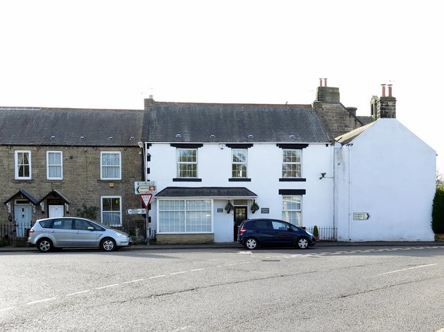
Image: © Andrew Curtis Taken: 27 Apr 2018
To the left is the west end of Burgoyne Terrace. The gable end of the building on the right is the former village school then schoolmaster's house facing Woodcroft Road Image
Images are licensed for reuse under creativecommons.org/licenses/by-sa/2.0
Image Location
Latitude
54.975615
Longitude
-1.824214