Disused Railway at Moor Row
Introduction
The photograph on this page of Disused Railway at Moor Row by John Allan as part of the Geograph project.
The Geograph project started in 2005 with the aim of publishing, organising and preserving representative images for every square kilometre of Great Britain, Ireland and the Isle of Man.

There are currently over 7.5m images from over 14,400 individuals and you can help contribute to the project by visiting https://www.geograph.org.uk
Disused Railway at Moor Row
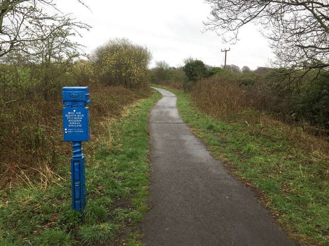
Image: © John Allan Taken: 17 Apr 2018
Now carrying a foot and cycle route between Whitehaven and Egremont.
Images are licensed for reuse under creativecommons.org/licenses/by-sa/2.0
Image Location
Latitude
54.513786
Longitude
-3.556678