East along St David's Road, Pengam
Introduction
The photograph on this page of East along St David's Road, Pengam by Jaggery as part of the Geograph project.
The Geograph project started in 2005 with the aim of publishing, organising and preserving representative images for every square kilometre of Great Britain, Ireland and the Isle of Man.

There are currently over 7.5m images from over 14,400 individuals and you can help contribute to the project by visiting https://www.geograph.org.uk
East along St David's Road, Pengam
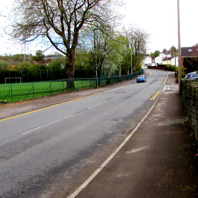
Image: © Jaggery Taken: 26 Apr 2018
A football ground is on the left. The right turn is into St Deinols Close. https://www.geograph.org.uk/photo/5752923
Images are licensed for reuse under creativecommons.org/licenses/by-sa/2.0
Image Location
Latitude
51.665958
Longitude
-3.221447