Common Moor
Introduction
The photograph on this page of Common Moor by Derek Harper as part of the Geograph project.
The Geograph project started in 2005 with the aim of publishing, organising and preserving representative images for every square kilometre of Great Britain, Ireland and the Isle of Man.

There are currently over 7.5m images from over 14,400 individuals and you can help contribute to the project by visiting https://www.geograph.org.uk
Common Moor
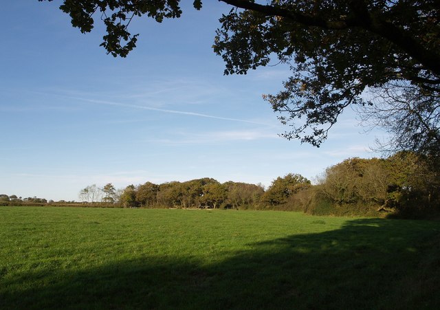
Image: © Derek Harper Taken: 4 Oct 2007
The wooded west section of the patch of access land, seen across a field from a gateway by an exceptionally muddy track near East Badworthy.
Images are licensed for reuse under creativecommons.org/licenses/by-sa/2.0
Image Location


Leaflet Map data © OpenStreetMap
Latitude
50.896757
Longitude
-4.197784