A3079 north-west of Northcombe Plantation
Introduction
The photograph on this page of A3079 north-west of Northcombe Plantation by David Smith as part of the Geograph project.
The Geograph project started in 2005 with the aim of publishing, organising and preserving representative images for every square kilometre of Great Britain, Ireland and the Isle of Man.

There are currently over 7.5m images from over 14,400 individuals and you can help contribute to the project by visiting https://www.geograph.org.uk
A3079 north-west of Northcombe Plantation
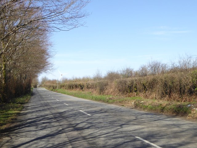
Image: © David Smith Taken: 18 Apr 2018
Looking towards a wind turbine at Patchacott. The high hedge on the left shields the road from the westerly winds which power the turbine
Images are licensed for reuse under creativecommons.org/licenses/by-sa/2.0
Image Location


Leaflet Map data © OpenStreetMap
Latitude
50.750922
Longitude
-4.171379