A farm now lost
Introduction
The photograph on this page of A farm now lost by Neil Owen as part of the Geograph project.
The Geograph project started in 2005 with the aim of publishing, organising and preserving representative images for every square kilometre of Great Britain, Ireland and the Isle of Man.

There are currently over 7.5m images from over 14,400 individuals and you can help contribute to the project by visiting https://www.geograph.org.uk
A farm now lost
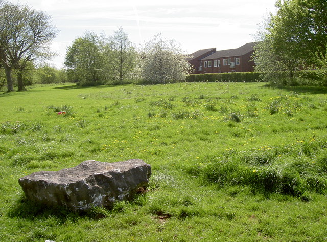
Image: © Neil Owen Taken: 26 Apr 2018
This part of the old Whitchurch Green area was actually the site of Whitchurch Green Farm. It disappeared from the maps in the early 1960s, about the time that Stockwood was being created. The boulder and small ditch/rampart are designed to prevent ingress by travellers.
Images are licensed for reuse under creativecommons.org/licenses/by-sa/2.0
Image Location
Latitude
51.409914
Longitude
-2.549042