Haydon Bridge Community High School - playing fields and farm
Introduction
The photograph on this page of Haydon Bridge Community High School - playing fields and farm by Marcus Byron as part of the Geograph project.
The Geograph project started in 2005 with the aim of publishing, organising and preserving representative images for every square kilometre of Great Britain, Ireland and the Isle of Man.

There are currently over 7.5m images from over 14,400 individuals and you can help contribute to the project by visiting https://www.geograph.org.uk
Haydon Bridge Community High School - playing fields and farm
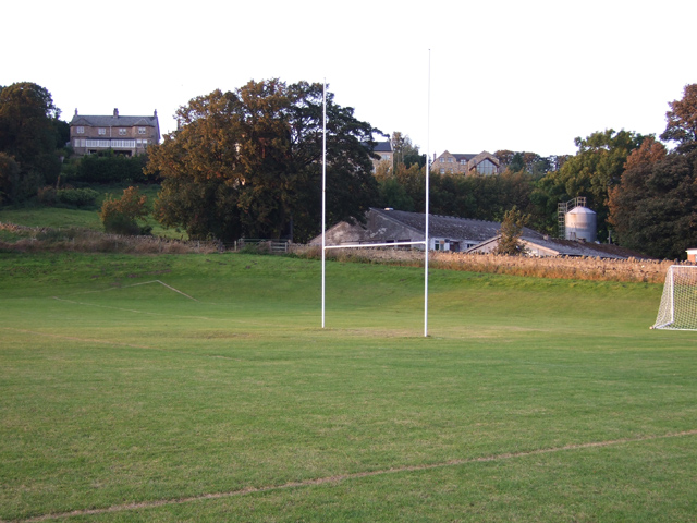
Image: © Marcus Byron Taken: 30 Sep 2007
The farm is linked with the school to teach agriculture to GCSE and BTEC students. A public footpath runs up the hill behind the wall.
Images are licensed for reuse under creativecommons.org/licenses/by-sa/2.0
Image Location


Leaflet Map data © OpenStreetMap
Latitude
54.974392
Longitude
-2.256488