Salisbury Plain [11]
Introduction
The photograph on this page of Salisbury Plain [11] by Michael Dibb as part of the Geograph project.
The Geograph project started in 2005 with the aim of publishing, organising and preserving representative images for every square kilometre of Great Britain, Ireland and the Isle of Man.

There are currently over 7.5m images from over 14,400 individuals and you can help contribute to the project by visiting https://www.geograph.org.uk
Salisbury Plain [11]
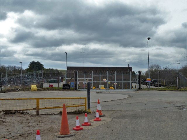
Image: © Michael Dibb Taken: 1 Apr 2018
At the edge of the military training area is an installation for cleaning vehicles. Some are then parked in this large compound. For a few days each year the public are allowed into the military training area on Salisbury Plain.
Images are licensed for reuse under creativecommons.org/licenses/by-sa/2.0
Image Location
Latitude
51.218869
Longitude
-2.144278