Trent Head Well, my Trent Valley Way journey's end
Introduction
The photograph on this page of Trent Head Well, my Trent Valley Way journey's end by Tim Heaton as part of the Geograph project.
The Geograph project started in 2005 with the aim of publishing, organising and preserving representative images for every square kilometre of Great Britain, Ireland and the Isle of Man.

There are currently over 7.5m images from over 14,400 individuals and you can help contribute to the project by visiting https://www.geograph.org.uk
Trent Head Well, my Trent Valley Way journey's end
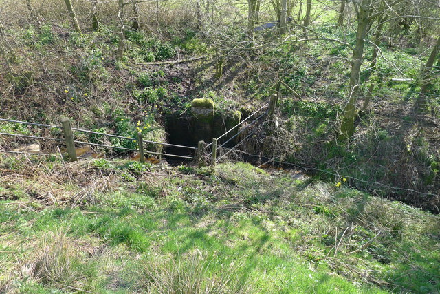
Image: © Tim Heaton Taken: 18 Apr 2018
I started on the Trent Valley Way ten years ago. From the original starting point at Thrumpton Image, to the Way's original end at West Stockwith Image Then to the end of the northern extension of the Way above Trent Falls (the 'mouth' of the Trent) Image - this northern extension is waymarked on the ground, but not shown on OS maps. The western extension, ending here at the source of the Trent (Trent Head Well, Biddulph Moor), has been proposed by the OnTrent Partnership, whose website seems to have disappeared!
Images are licensed for reuse under creativecommons.org/licenses/by-sa/2.0
Image Location
Latitude
53.116037
Longitude
-2.1404