Greenfield Street, Bargoed
Introduction
The photograph on this page of Greenfield Street, Bargoed by Jaggery as part of the Geograph project.
The Geograph project started in 2005 with the aim of publishing, organising and preserving representative images for every square kilometre of Great Britain, Ireland and the Isle of Man.

There are currently over 7.5m images from over 14,400 individuals and you can help contribute to the project by visiting https://www.geograph.org.uk
Greenfield Street, Bargoed
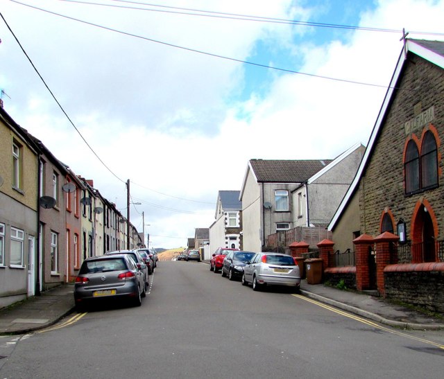
Image: © Jaggery Taken: 25 Apr 2018
Greenfield Street ascends from the corner of West Street. Calfaria chapel https://www.geograph.org.uk/photo/5751415 is on the right.
Images are licensed for reuse under creativecommons.org/licenses/by-sa/2.0
Image Location
Latitude
51.688974
Longitude
-3.230313