Trees, recreation ground, Horfield
Introduction
The photograph on this page of Trees, recreation ground, Horfield by Derek Harper as part of the Geograph project.
The Geograph project started in 2005 with the aim of publishing, organising and preserving representative images for every square kilometre of Great Britain, Ireland and the Isle of Man.

There are currently over 7.5m images from over 14,400 individuals and you can help contribute to the project by visiting https://www.geograph.org.uk
Trees, recreation ground, Horfield
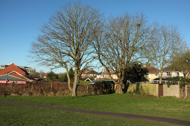
Image: © Derek Harper Taken: 7 Feb 2018
Ticked away in the northwest corner of the recreation ground surrounding Horfield Leisure Centre. Behind the housing on Inkerman Close on the left is Southmead Hospital. On the right are semis on Grittleton Road.
Images are licensed for reuse under creativecommons.org/licenses/by-sa/2.0
Image Location
Latitude
51.495612
Longitude
-2.584643