Marg's Way, Horfield
Introduction
The photograph on this page of Marg's Way, Horfield by Derek Harper as part of the Geograph project.
The Geograph project started in 2005 with the aim of publishing, organising and preserving representative images for every square kilometre of Great Britain, Ireland and the Isle of Man.

There are currently over 7.5m images from over 14,400 individuals and you can help contribute to the project by visiting https://www.geograph.org.uk
Marg's Way, Horfield
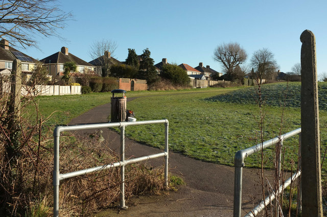
Image: © Derek Harper Taken: 7 Feb 2018
The name given on at least one map to this path around the northern edge of the recreation ground surrounding Horfield Leisure Centre. As in Image], the semis are on Grittleton Road.
Images are licensed for reuse under creativecommons.org/licenses/by-sa/2.0
Image Location
Latitude
51.495432
Longitude
-2.584641