Glamis Place
Introduction
The photograph on this page of Glamis Place by Simon Johnston as part of the Geograph project.
The Geograph project started in 2005 with the aim of publishing, organising and preserving representative images for every square kilometre of Great Britain, Ireland and the Isle of Man.

There are currently over 7.5m images from over 14,400 individuals and you can help contribute to the project by visiting https://www.geograph.org.uk
Glamis Place
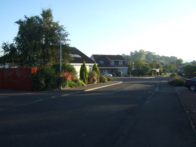
Image: © Simon Johnston Taken: 2 Oct 2007
That's Glaaaams (not Glamissss). Leafy, des-res, quiet, cul-de-sac southern part of (consistent "village of the year" award) Dalgety Bay. Taken from the end of the path at Donibristle Wood where Glamis Place becomes Glamis Gardens.
Images are licensed for reuse under creativecommons.org/licenses/by-sa/2.0
Image Location
Latitude
56.033383
Longitude
-3.350882