A field west of Prestwood
Introduction
The photograph on this page of A field west of Prestwood by David Hillas as part of the Geograph project.
The Geograph project started in 2005 with the aim of publishing, organising and preserving representative images for every square kilometre of Great Britain, Ireland and the Isle of Man.

There are currently over 7.5m images from over 14,400 individuals and you can help contribute to the project by visiting https://www.geograph.org.uk
A field west of Prestwood
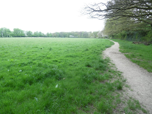
Image: © David Hillas Taken: 24 Apr 2018
This photo shows a field west of Prestwood with a footpath on the right and Stony Green Wood in the distance. It can be accessed from a path between 44 and 46 Wycombe Road HP16 0PQ.
Images are licensed for reuse under creativecommons.org/licenses/by-sa/2.0
Image Location
Latitude
51.694127
Longitude
-0.746303