Manor Road, Wivenhoe
Introduction
The photograph on this page of Manor Road, Wivenhoe by Stephen McKay as part of the Geograph project.
The Geograph project started in 2005 with the aim of publishing, organising and preserving representative images for every square kilometre of Great Britain, Ireland and the Isle of Man.

There are currently over 7.5m images from over 14,400 individuals and you can help contribute to the project by visiting https://www.geograph.org.uk
Manor Road, Wivenhoe
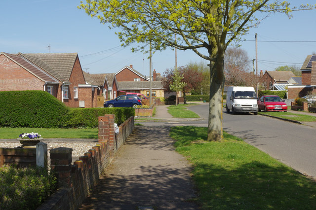
Image: © Stephen McKay Taken: 18 Apr 2018
Houses at the southern end of Manor Road were built shortly after the sale of manorial estate land in 1899. Further north there are mainly bungalows dating from around the 1960s. Harvey Road leads off to the left in this view.
Images are licensed for reuse under creativecommons.org/licenses/by-sa/2.0
Image Location
Latitude
51.863282
Longitude
0.962972