Facilities for horses at Calf Heath
Introduction
The photograph on this page of Facilities for horses at Calf Heath by Bill Boaden as part of the Geograph project.
The Geograph project started in 2005 with the aim of publishing, organising and preserving representative images for every square kilometre of Great Britain, Ireland and the Isle of Man.

There are currently over 7.5m images from over 14,400 individuals and you can help contribute to the project by visiting https://www.geograph.org.uk
Facilities for horses at Calf Heath
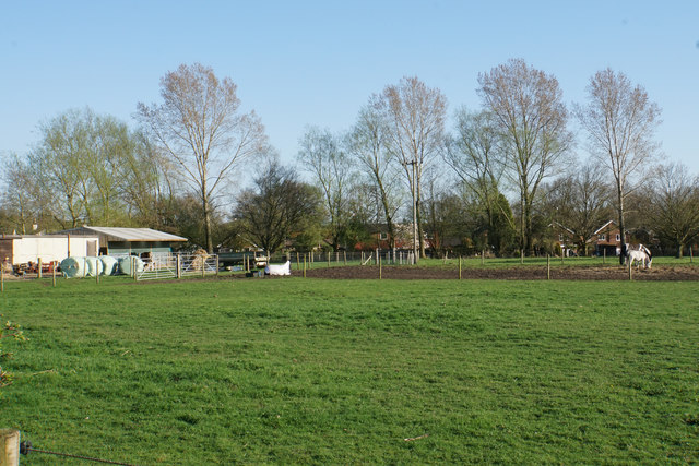
Image: © Bill Boaden Taken: 19 Apr 2018
Much of the local green land is available for horses. Although not visible from here, the disused Hatherton Canal runs in front of the houses.
Images are licensed for reuse under creativecommons.org/licenses/by-sa/2.0
Image Location
Latitude
52.676416
Longitude
-2.092987